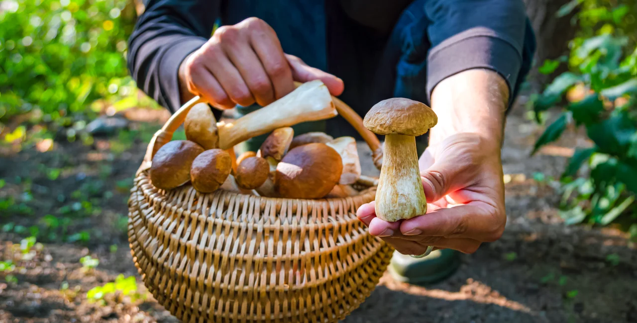
With the start of the mushroom season, the Czech Hydrometeorological Institute (ČHMÚ) has released an updated map on its website that predicts the probability of mushroom growth across the country. The map takes into account recent rainfall, soil moisture, and temperature data to estimate the likelihood of finding the most commonly collected mushrooms in the country.
"The calculation of the map depends not only on ideal weather conditions, but also on the actual occurrence of mushrooms in forests," the CHMÚ wrote on its Facebook page. "Once these criteria are met and the mushrooms’ presence is confirmed, the map is updated, but it's important to remember that the actual occurrence of mushrooms can vary depending on location and conditions,” the ČHMÚ noted.
The mushroom-picking season in Czechia typically lasts from May to November, with the highest growth in August to October. According to the map, the most likely mushrooms to grow this season are mycorrhizal species, such as toadstools, champignons, edelweiss, foxgloves, and some champignons.
EXPAT TIP
The Mushroom Indetify and Mushroom LITE apps offer an English-friendly guide to edible and poisonous mushrooms while you’re foraging through forests.
Several variables influence growth
The map also takes into account natural conditions that can affect mushroom growth. Changes in vegetation, such as a new forest growing in a previously cut-down area, can significantly alter the composition of mushrooms in an area. This is why experts advise using the map with a grain of salt and understanding that it is only a prediction based on meteorological variables.
The weather plays a crucial role in mushroom growth, with the best conditions being about 10 days after heavy rains and warm weather.
The map is calculated based on soil saturation with precipitation in the previous 30 days combined with average temperatures in the last seven days. The result is then adjusted by a seasonal coefficient, which takes into account differences in mushroom growth throughout the year.
The CHMÚ also offers other wildlife-related information on its website, such as a pollen spread map and predictions for the presence of ticks, mosquitoes, and bark beetles.


 Reading time: 2 minutes


